Now Reading: Google Earth AI: Redefining Interactive Mapping
-
01
Google Earth AI: Redefining Interactive Mapping
Google Earth AI: Redefining Interactive Mapping

Google Earth AI: Redefining Interactive Mapping
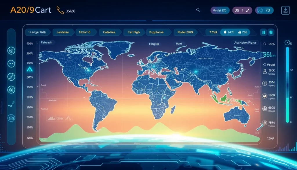
Google’s latest innovation is setting a new benchmark in digital navigation. With the integration of advanced AI features, the revolutionary Google Earth AI interactive mapping system is transforming how we explore geospatial data. This evolution is not just a technical update but a dramatic leap forward in the field of interactive mapping, combining real-time satellite imagery with the power of conversational queries.
Harnessing Gemini for Enhanced Mapping
At the heart of this breakthrough is the Gemini AI framework. Google Earth AI interactive mapping uses Gemini to analyze vast amounts of data, thereby providing users with context-rich answers to their geographic queries. When a user asks, for example, “How has this region evolved over the last decade?”, the system not only presents historical satellite images but also overlays data on urban development, environmental changes, and infrastructural growth.
Key features of this transformative update include:
- AI-powered mapping that interprets satellite imagery
- Conversational mapping to answer user questions in plain language
- Detailed annotations on infrastructure, historical trends, and environmental shifts
By integrating these features, Google Earth AI interactive mapping turns a simple digital map into a dynamic research assistant that caters to the needs of urban planners, environmental scientists, and everyday explorers alike.
Evolution of Digital Mapping Technology
Digital mapping has undergone significant evolution over the past decades. Traditionally, mapping software focused on high-resolution images and static geographical data. However, the adoption of AI and machine learning has opened new avenues for interactive geospatial exploration. Google Earth AI interactive mapping is at the forefront of this revolution, providing users with:
- Real-time data updates
- Layered insights that bridge historical data with current trends
- Engaging and interactive dialogues with a digital map
These advancements are making it easier for researchers and educators to understand complex geographic changes. For instance, a student studying environmental science can quickly obtain information about deforestation trends in the Amazon, while urban planners might assess the impact of infrastructure projects on city growth.
How Google Earth Uses Gemini for Mapping
One of the most exciting aspects of this new tool is its ability to answer detailed, contextual queries. This is achieved through the clever use of Google Gemini Earth technology. Examples of its application include:
- Exploring how coastal cities adapt to rising sea levels
- Discovering urban sprawl by overlaying past and present satellite images
- Analyzing demographic shifts in major metropolitan areas
Such functionality is largely embedded within Google Earth AI interactive mapping. By leveraging machine learning and extensive geospatial databases, the system not only retrieves data but also interprets it, offering both visual and written insights directly over the map.
Enhancing User Experience and Accessibility
Google has meticulously designed the new interface to be both intuitive and user-friendly. The platform’s seamless integration of AI ensures that even users unfamiliar with complex mapping tools can engage in a natural conversation with the software. Some highlights include:
- A streamlined search interface that accepts plain language queries
- Detailed, annotated responses that help users understand spatial changes without needing technical expertise
- A design that appeals to a broad audience, from students to professional researchers
For more details on Google’s innovations, you can visit the official Google website and explore Google Earth.
Industry Impact and Future Prospects
The advent of Google Earth AI interactive mapping is causing ripples across several industries. Urban planners, disaster management teams, and environmental researchers are among the primary beneficiaries, as the system offers them a powerful tool for rapid data analysis and decision-making. Using detailed satellite imagery and AI-driven insights, professionals can evaluate the impacts of natural disasters and track recovery progress in real time.
Moreover, the application’s capacity for AI conversational queries streamlines the process of obtaining vital information. This is particularly useful in emergency scenarios where time is of the essence. The technology not only augments traditional mapping but also paves the way for future innovations in digital mapping and data visualization.
Navigating Ethical and Privacy Considerations
With great power comes great responsibility. The integration of AI in mapping systems raises important questions about data privacy and ethical use. Google has addressed these concerns by implementing stringent privacy safeguards and robust security measures. This ensures that while Google Earth AI interactive mapping can process and analyze vast amounts of geospatial data, user privacy is never compromised.
Conclusion
In summary, the transformation of Google Earth through AI-powered features exemplifies the future of digital mapping. Google Earth AI interactive mapping is not just a product update—it represents a paradigm shift in how we interact with geospatial data. By harnessing the cutting-edge Gemini framework, the platform transcends traditional mapping boundaries, offering an engaging, data-rich experience that is accessible to all.
This innovative technology opens new avenues for research, education, and professional applications, making interactive geospatial exploration more intuitive and insightful than ever before. As digital mapping continues to evolve, innovations like Google Earth AI interactive mapping will play a pivotal role in shaping our understanding of the world. Whether for academic research, emergency management, or urban planning, these advanced features ensure that every question about our ever-changing planet can be answered through intelligent, interactive dialogue.


